June 2, 2021 - Day Twelve, Flight Two
Missoula, Rich's Ranch, Seeley Lake - Montana
|
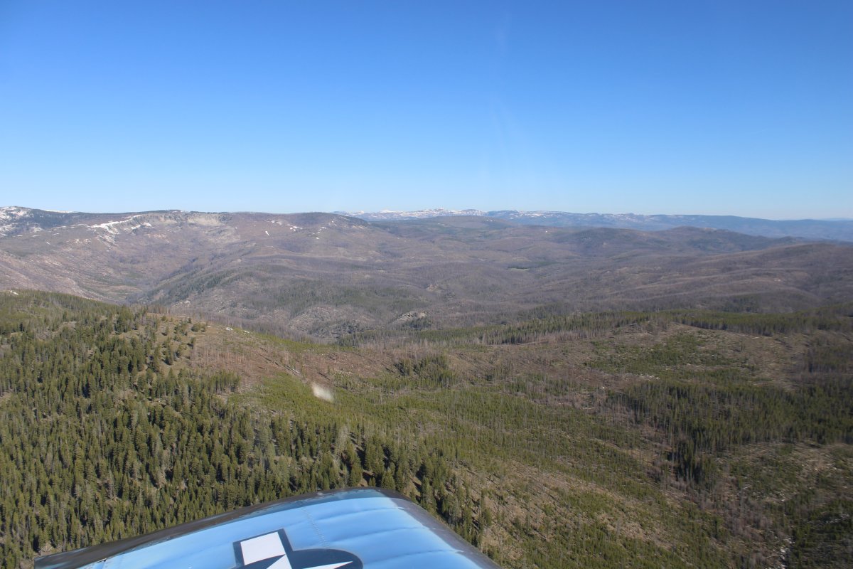
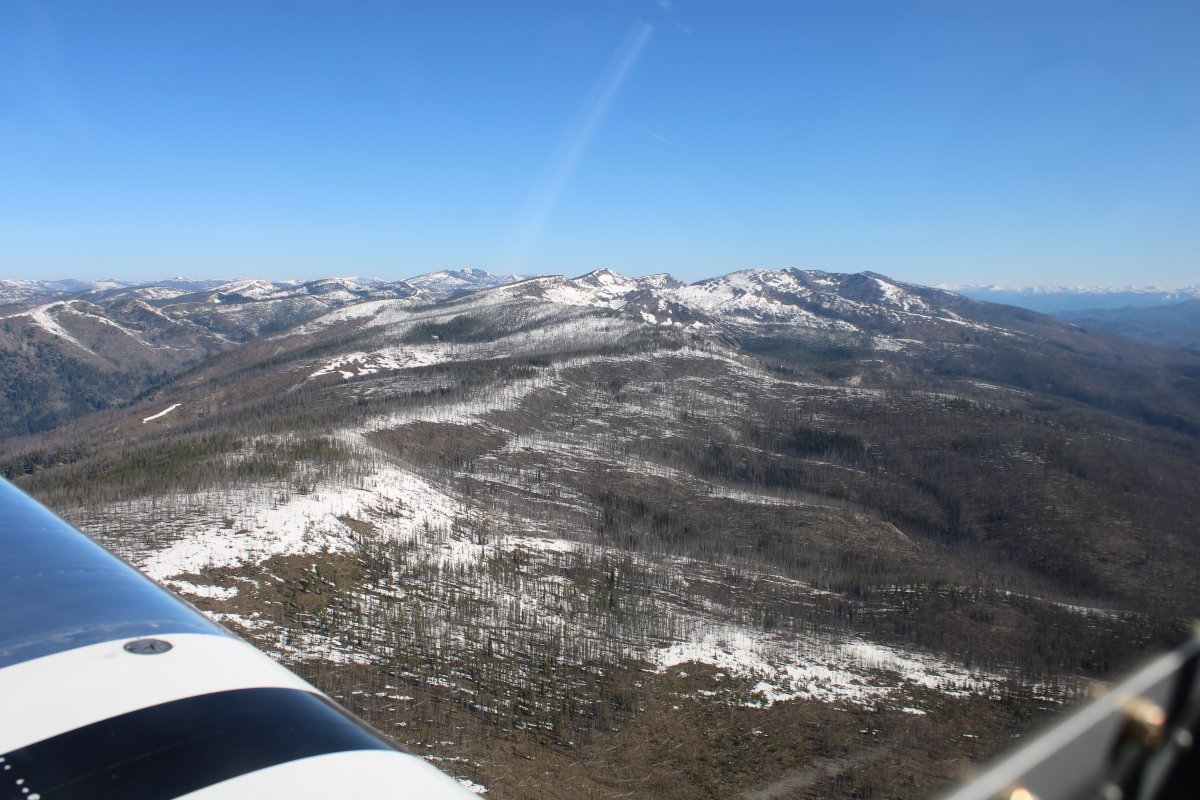
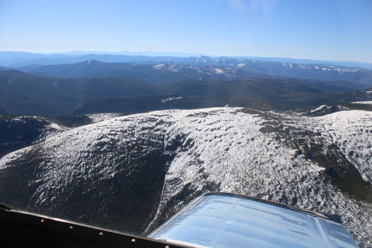
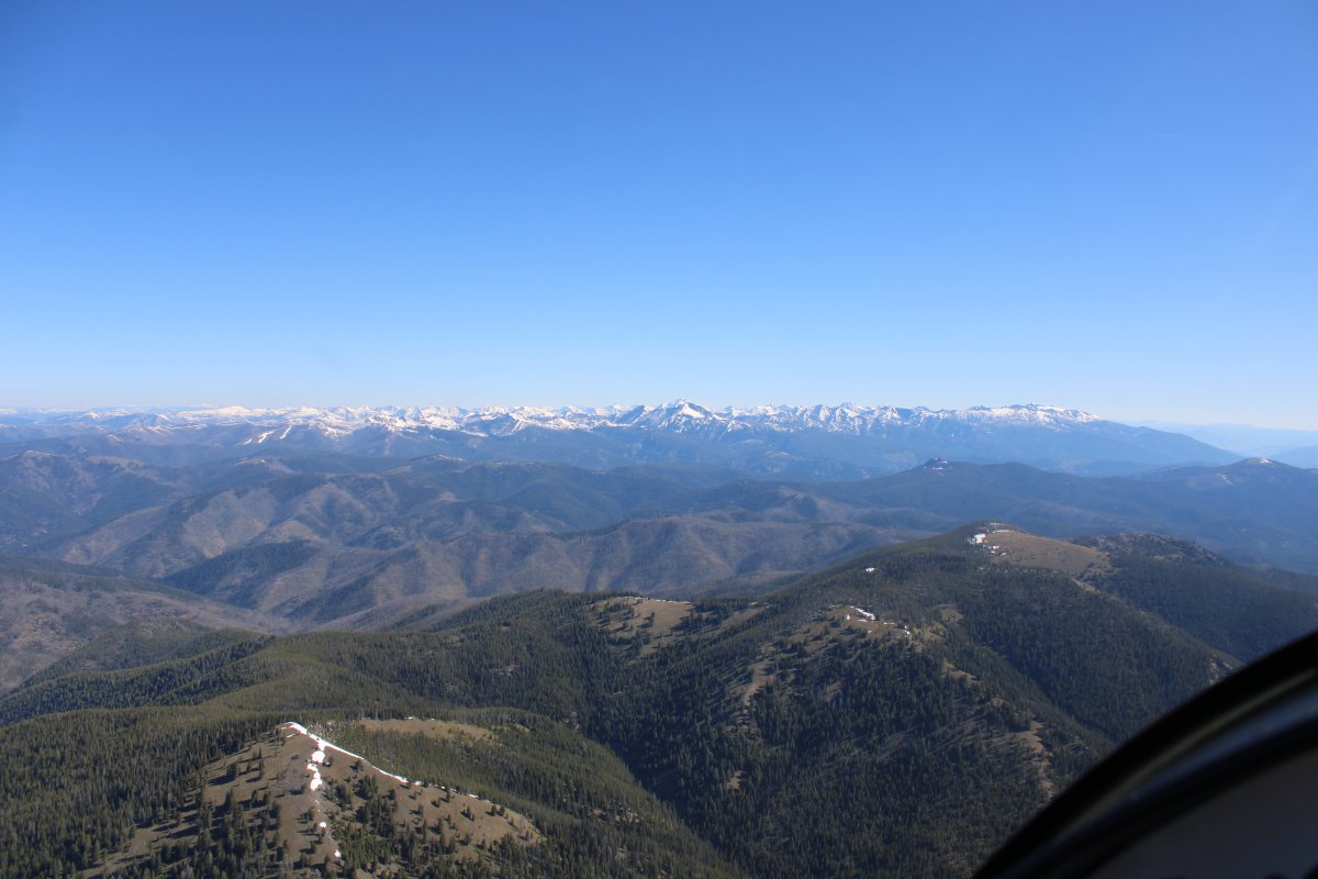
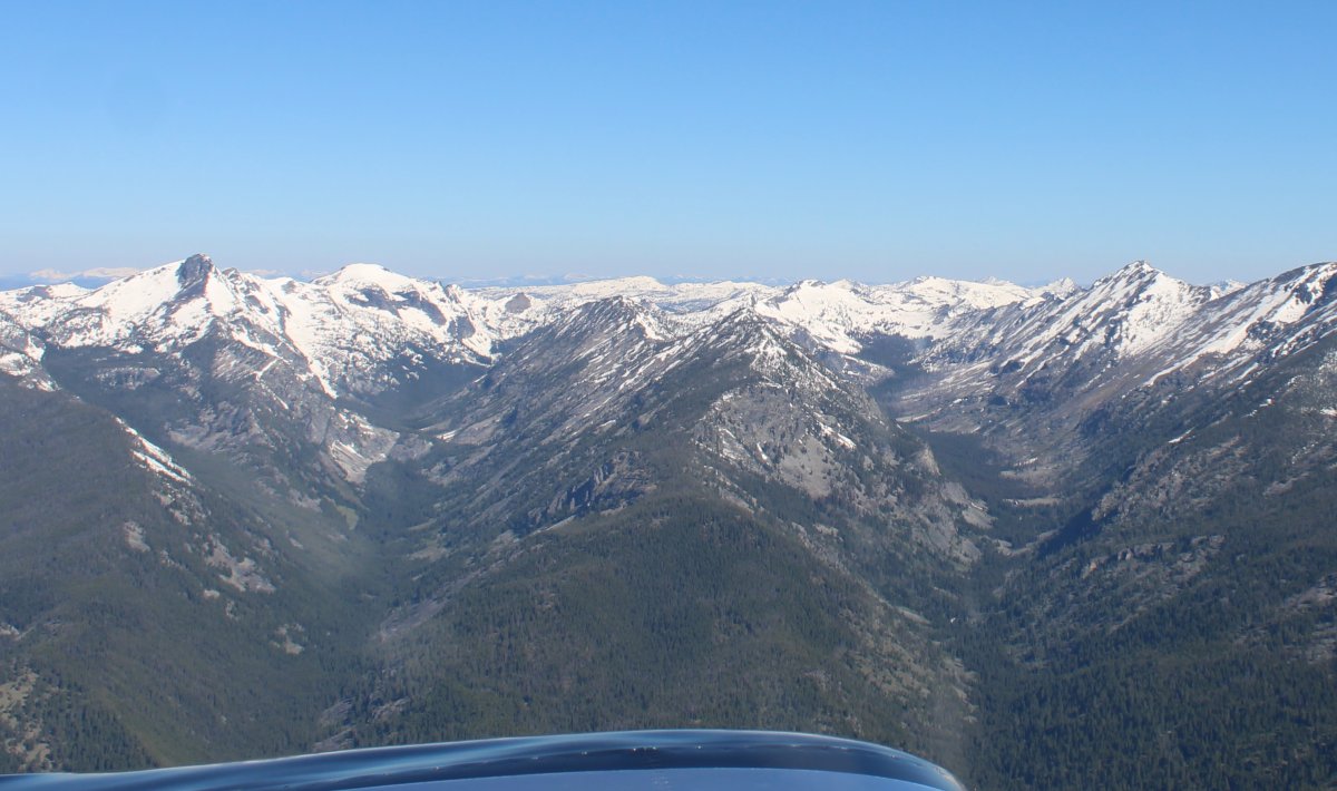
| I left Big Creek and headed north-northeast towards Missoula, Montana. The first half of the flight I'd be flying through the Frank Church River of No Return Wilderness. Great! You better believe I was wearing my survival vest on this flight. |
| |
 |
|
|
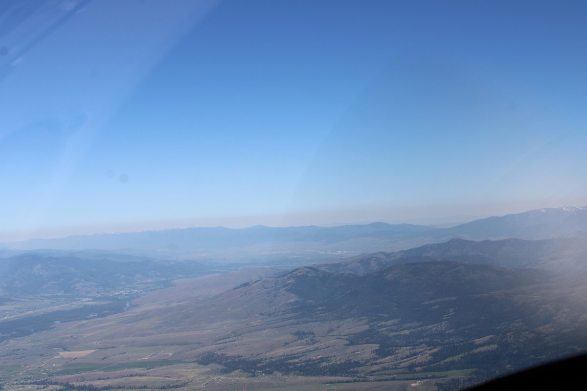
Other than a few mountain airstrips, there wasn't much civilization out here. In fact there was no civilization.
|
| |
 |
|
| |
| |
 |
|
|
|
| |
 |
|
| |
| |
 |
|
| |
| |
 |
|
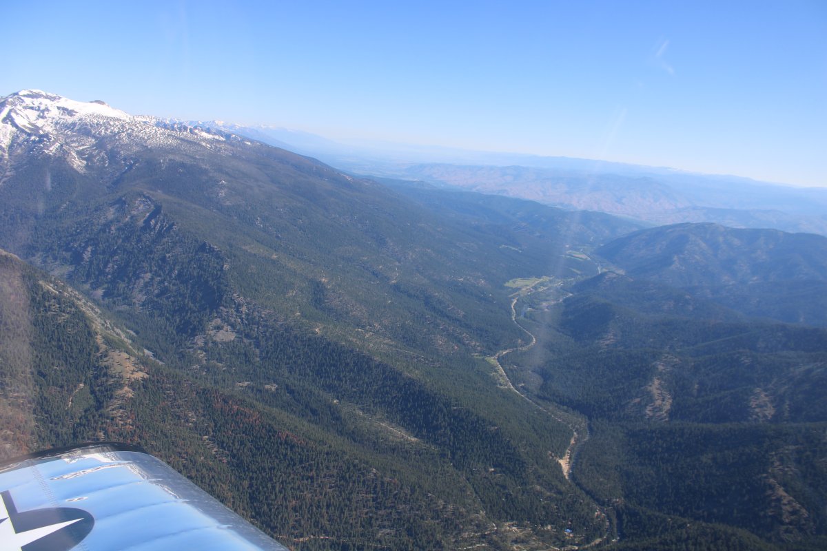
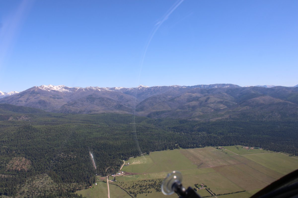
| I was kind of glad when I started seeing some civilzation. It's hard to see, but there is a little dirt airstrip down there parallel to the road by the river near the town of Darby. |
| |
 |
|
|
Approaching a valley running north-south bordered by the Bitterroot Range to the west.
|
| |
 |
|
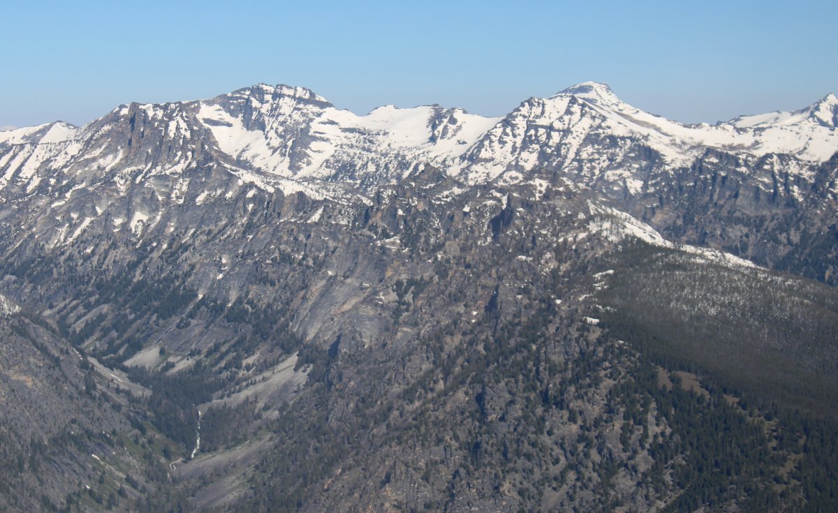
| Those Bitterroots look pretty rugged. |
| |
 |
|
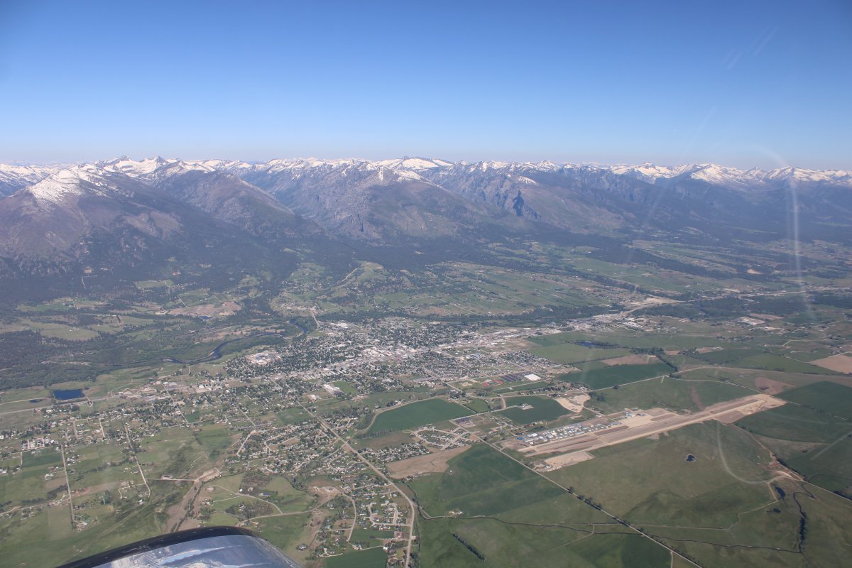
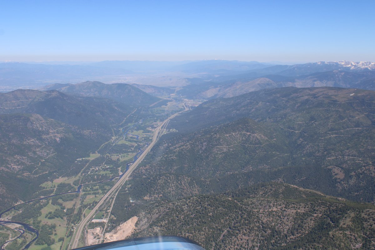
| Passing by Ravelli County Airport with the town of Hamilton between it and the Bitterroot Range. The airport is obviously closed, however. |
| |
 |
|
|
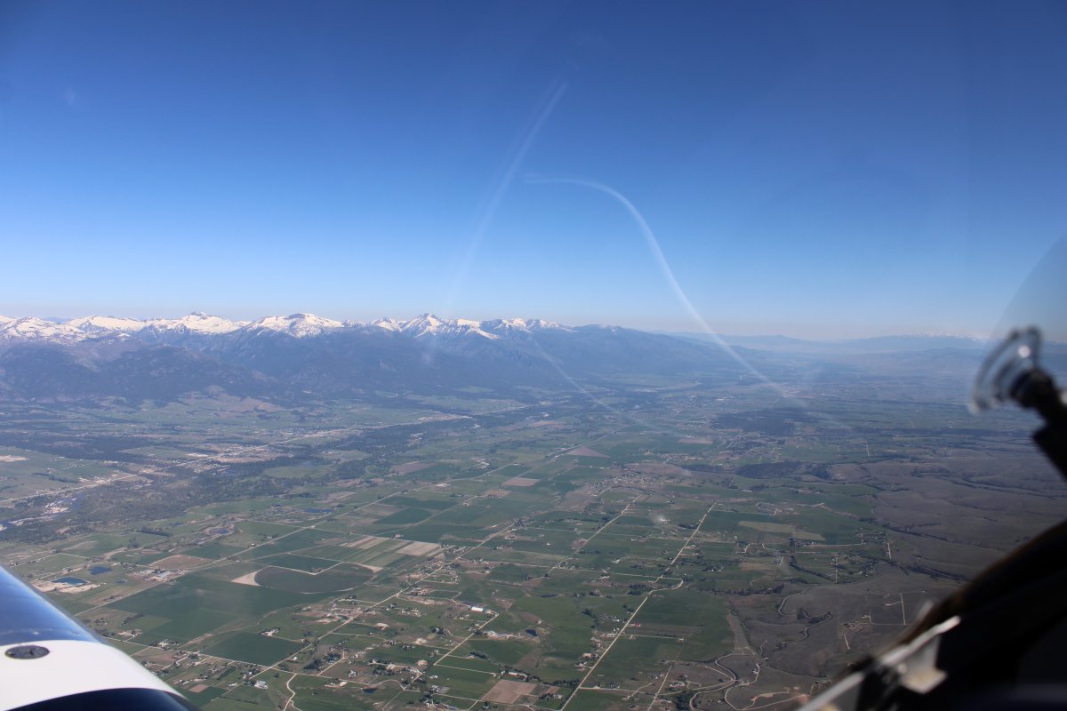
Continuing north up the valley.
|
| |
 |
|
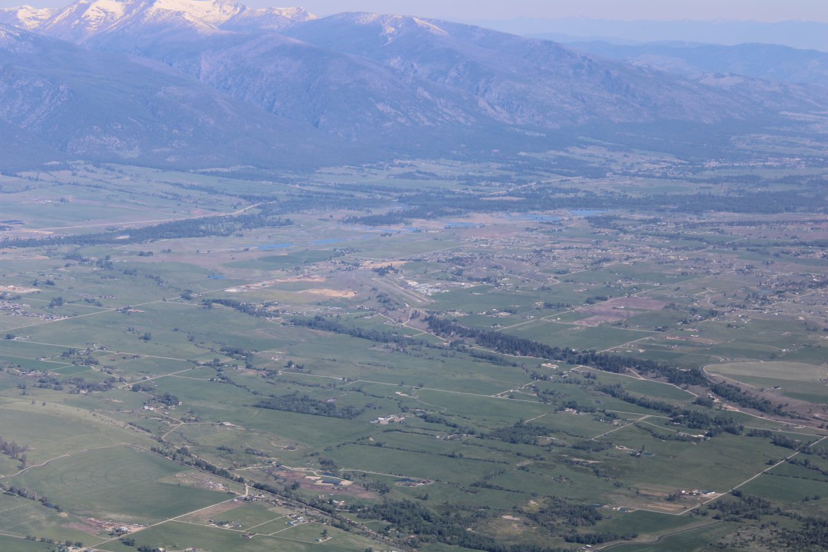
| Stevensville Airport (32S) is visible in the center of the picture. The town of Stevensville is to the right of the airport. |
| |
 |
|
|
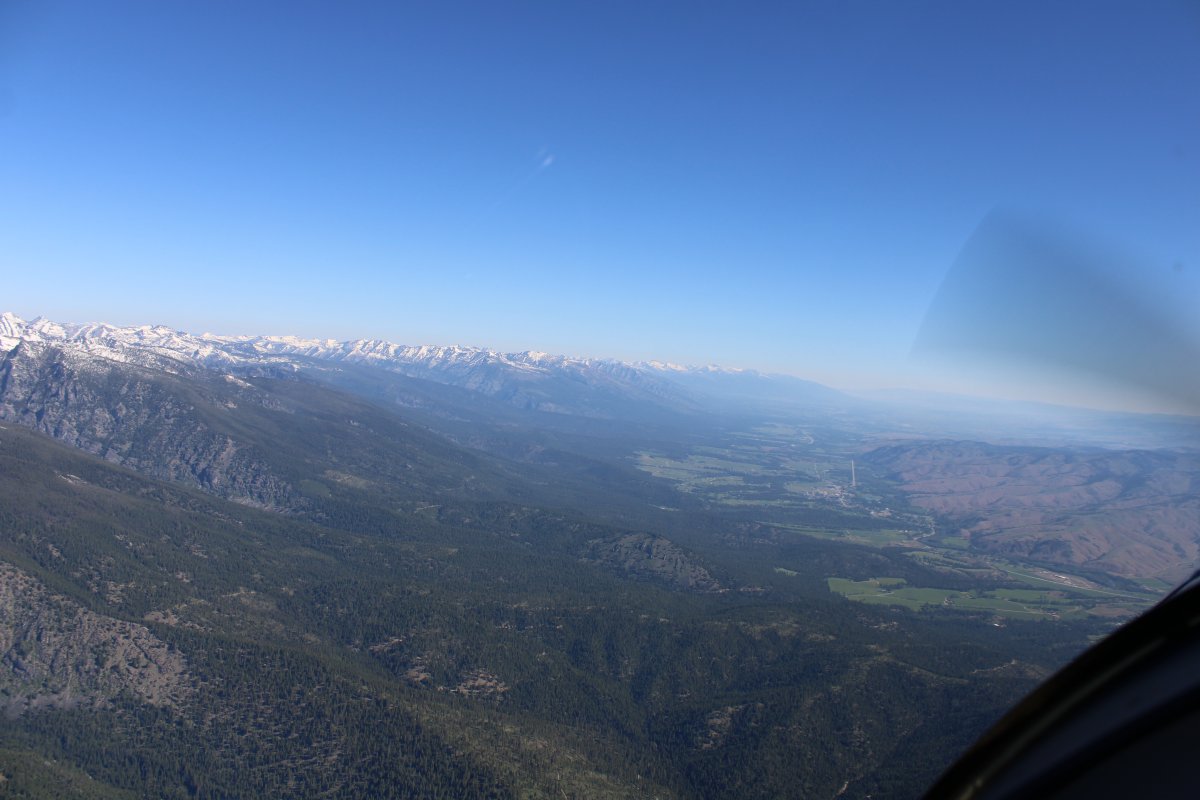
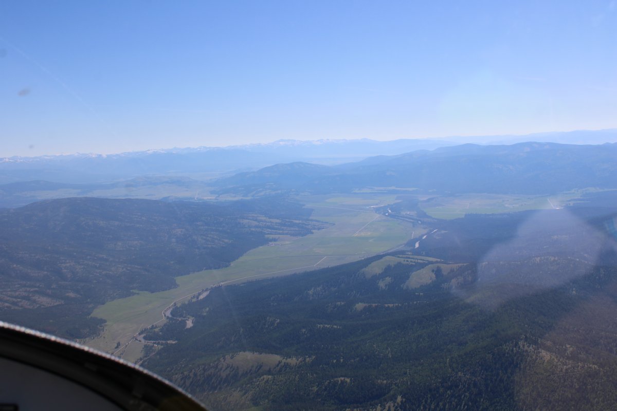
Looking north up the valley, I can just see Missoula in the distance. I continue north-northeast however, as I'm headed for Seeley Lake Airport (23S).
|
| |
 |
|
| Looking down at Interstate 90 as it heads northwest towards Missoula. |
| |
 |
|
| Following a valley towards Seeley Lake. |
| |
 |
|
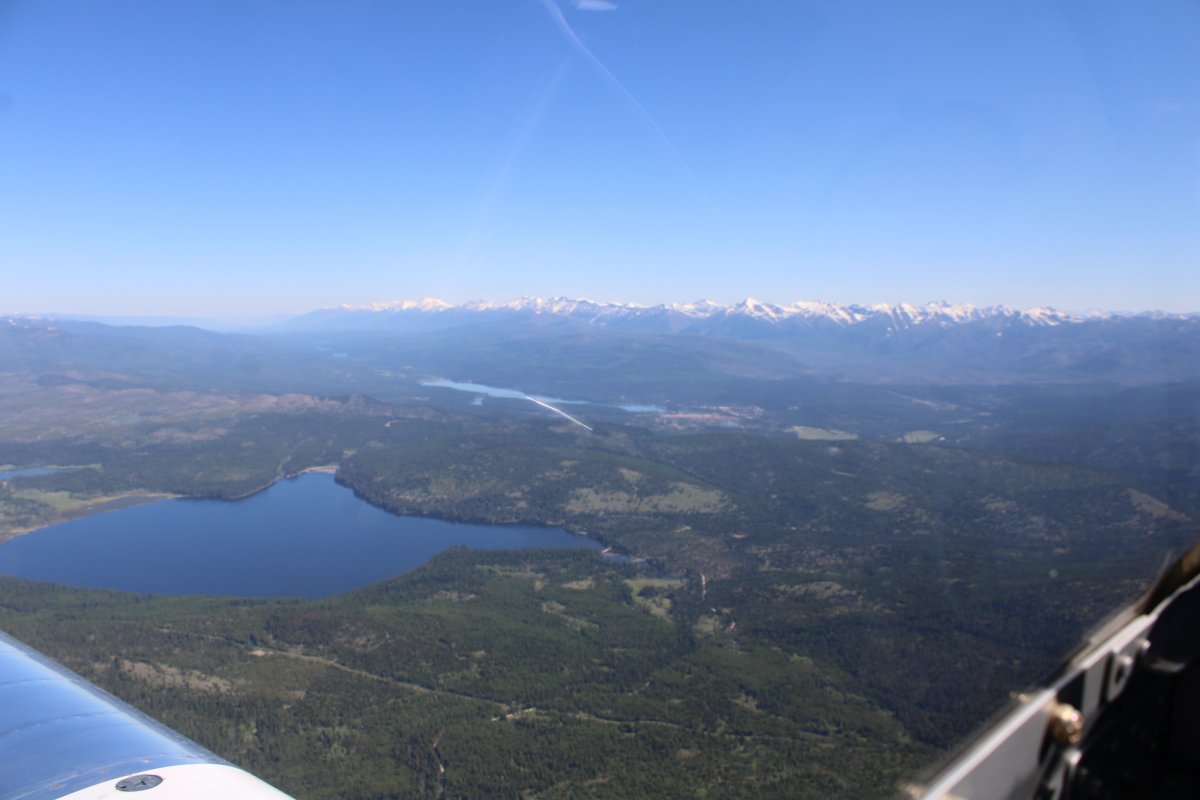
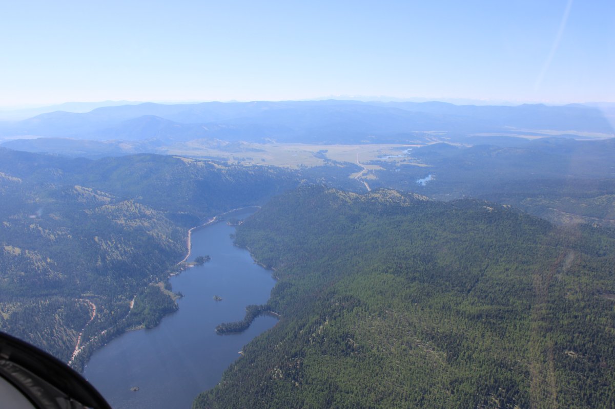
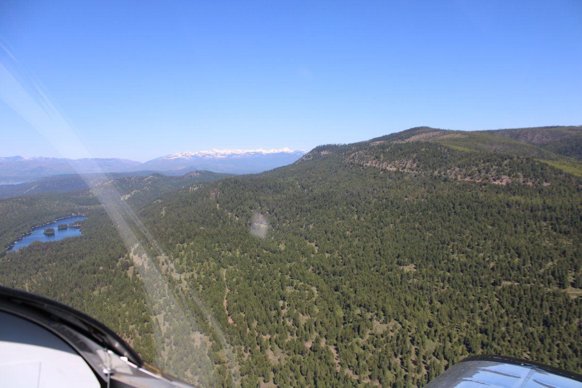
| Placid Lake is at center left with long, thin Seeley Lake visible in the distance in front of that snow-covered range. |
| |
 |
|
|
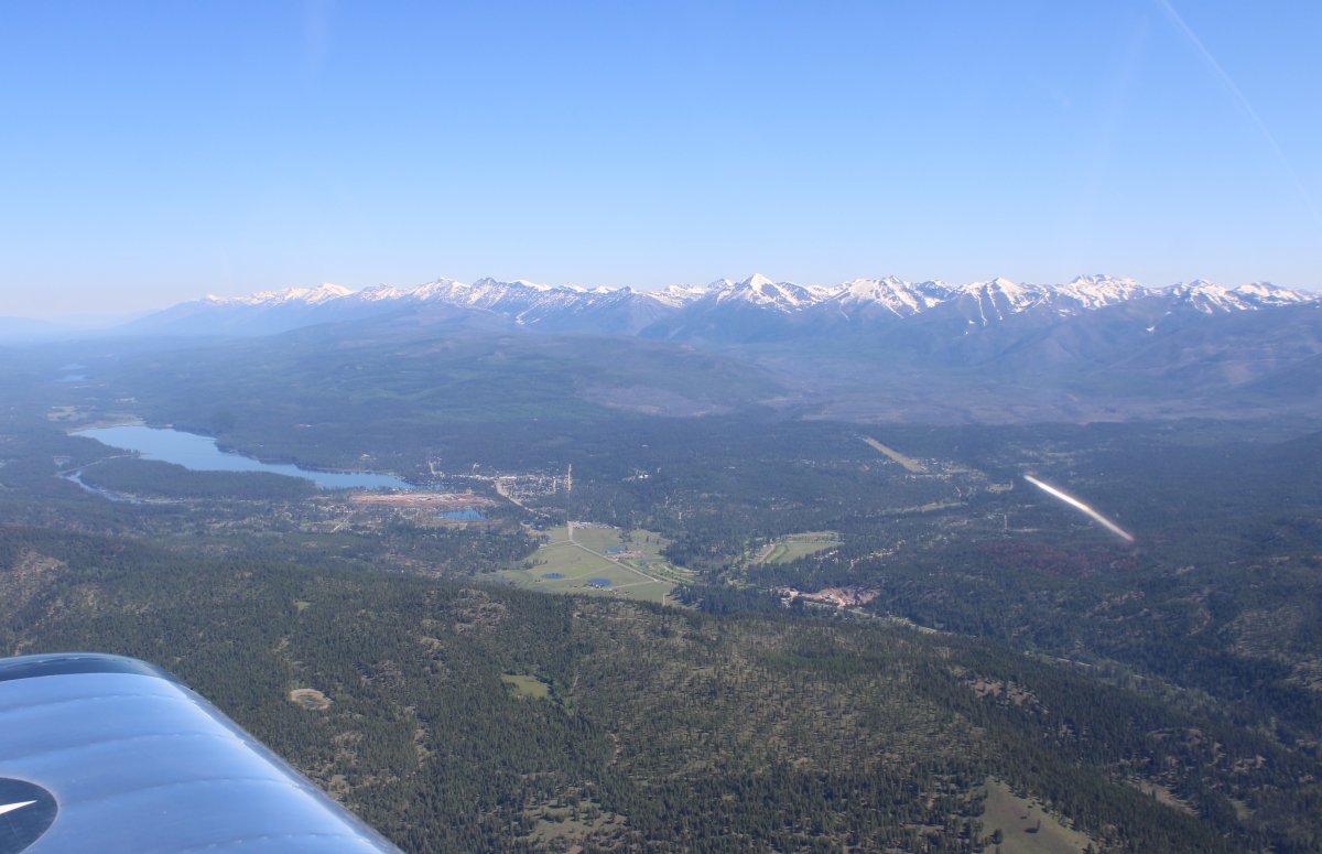
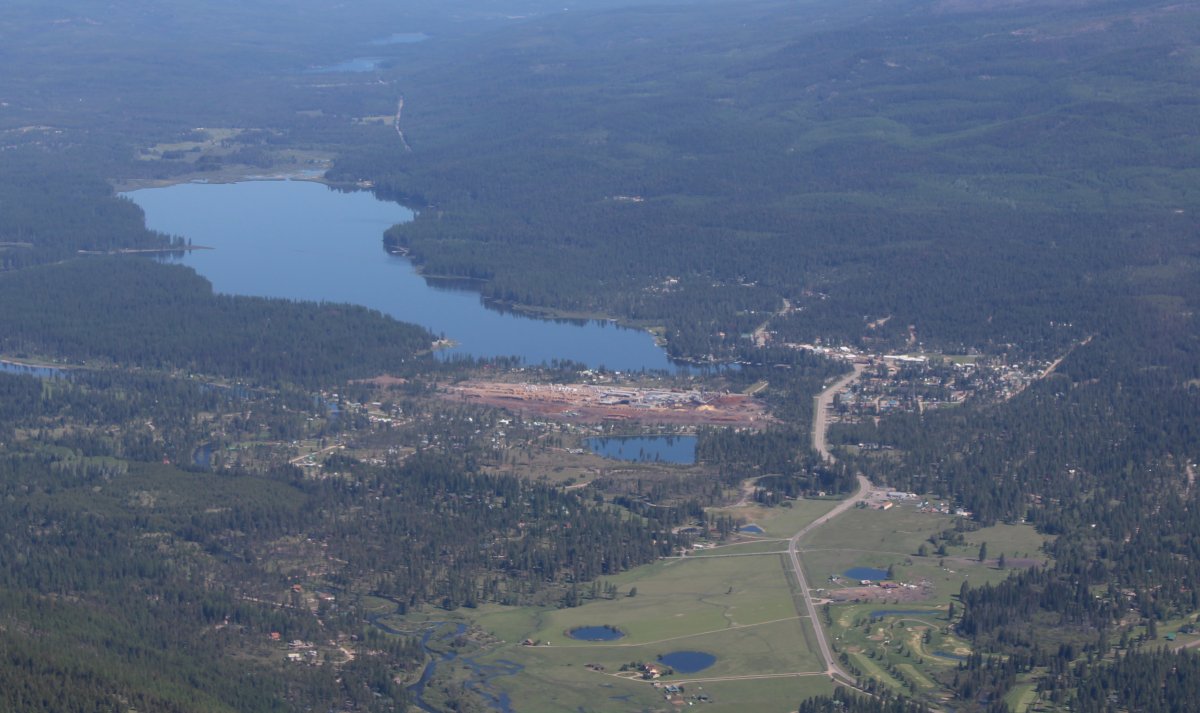
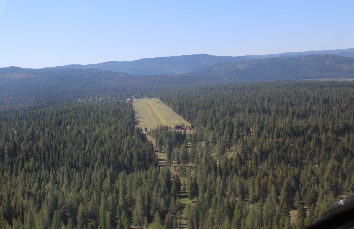
Seeley Lake comes into view on the left while Seeley Lake grass strip airport is visible just to the right of center.
|
| |
 |
|
| Seeley Lake and town. |
| |
 |
|
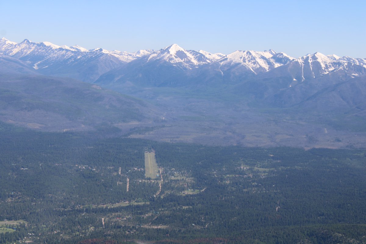
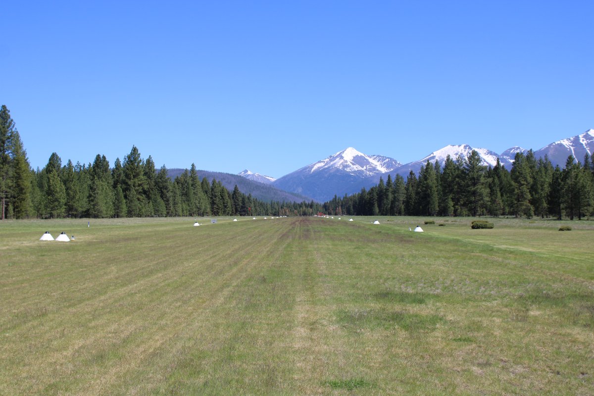
| Looking down the grass runway at Seeley Lake with some rather large, snow-covered mountains in the background. |
| |
 |
|
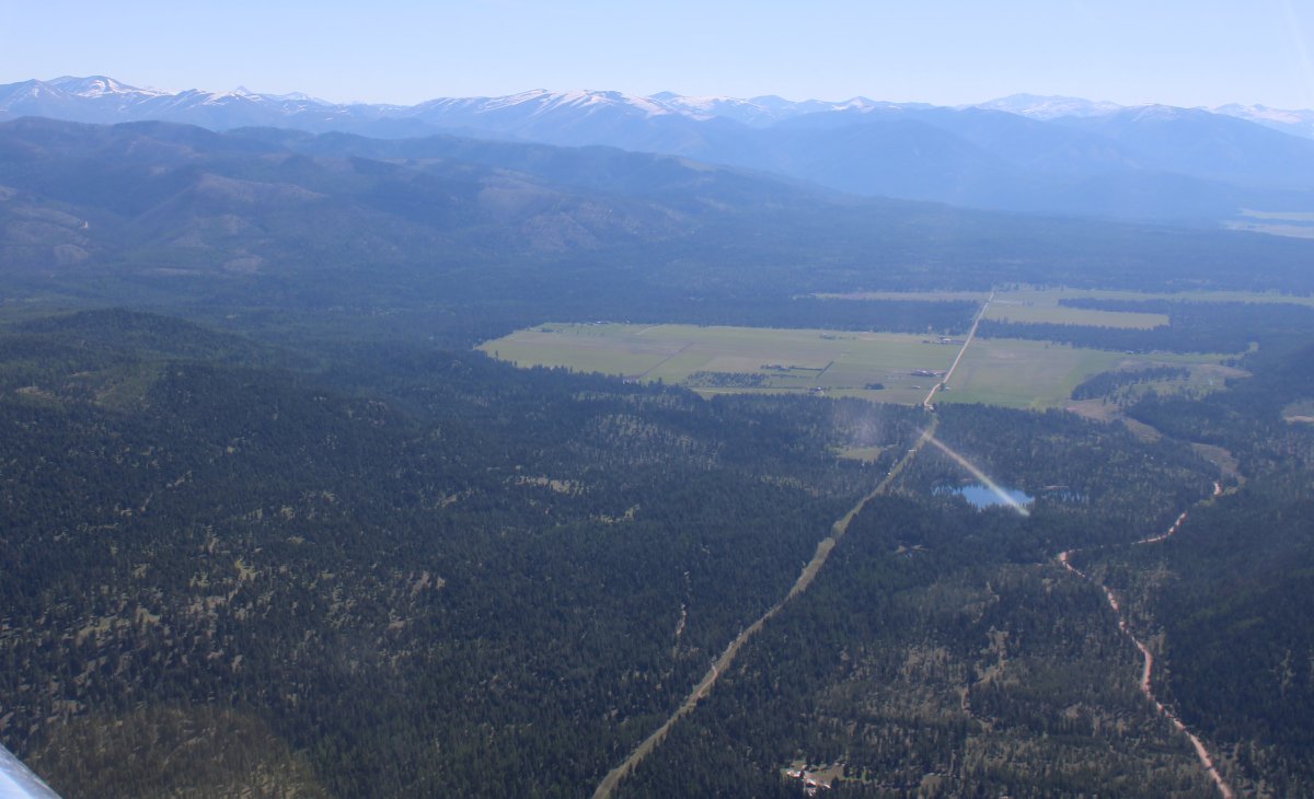
| Before I land at Seeley Lake airport, there is something I want to see. I head southeast. |
| |
 |
|
|
I recognize the area right away.
|
| |
 |
|
| Yes, that's it. |
| |
 |
|
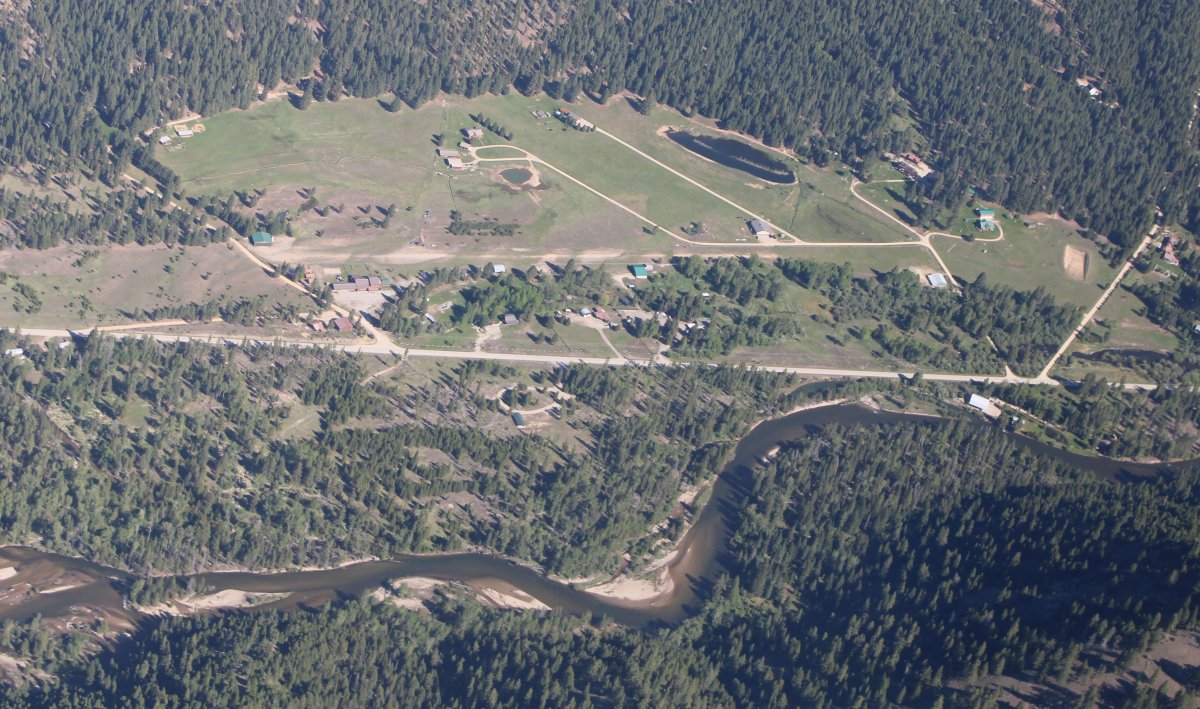
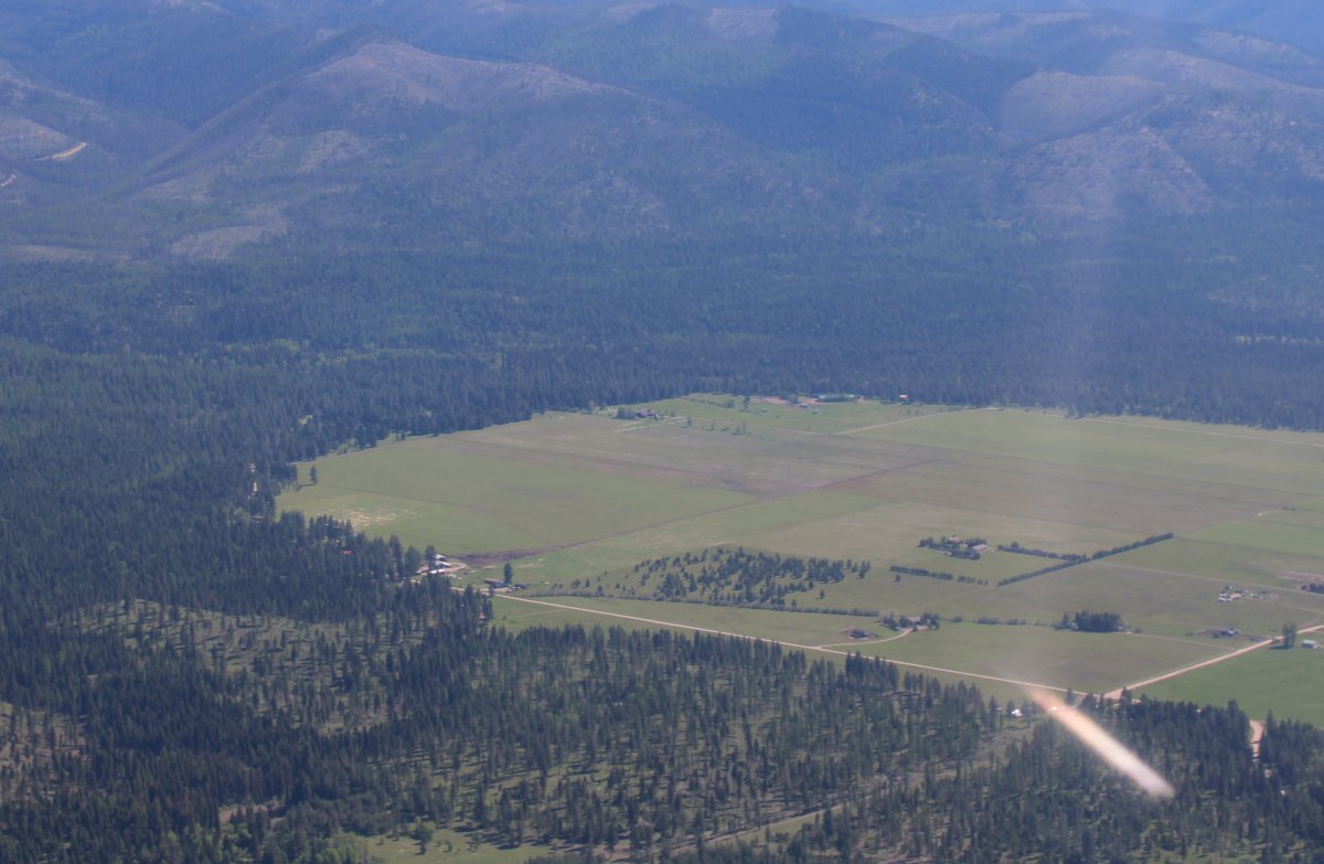
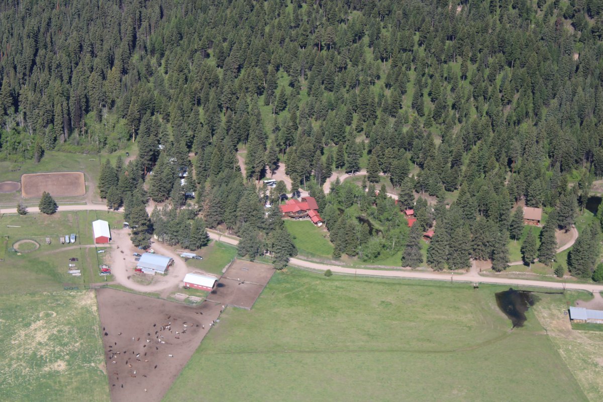
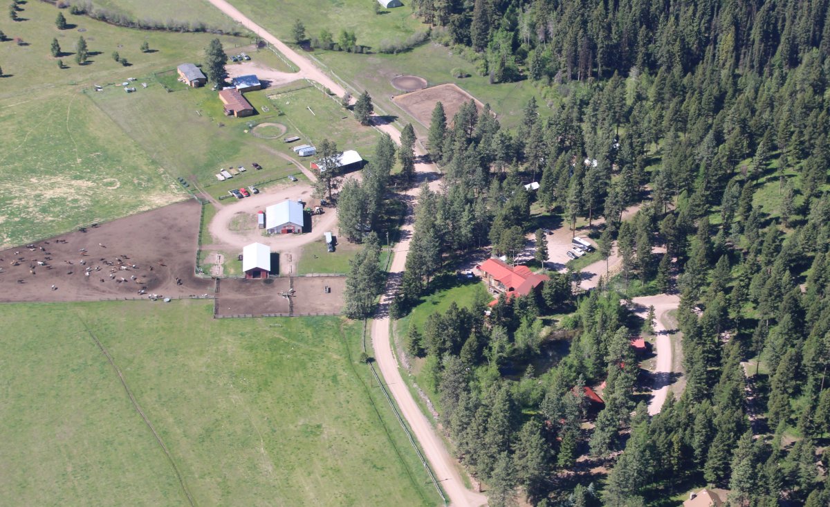
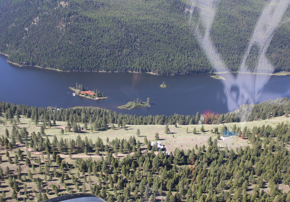
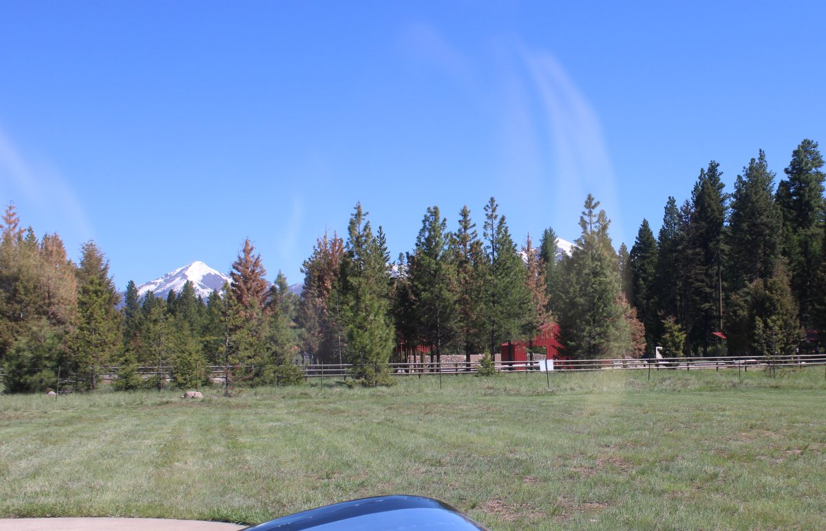
It's Rich's Ranch, where Pete, Stan and I went snowmobiling in March 2020, right before the world lost its mind nuts over the Chinese Flu. Of course, the area was covered in snow then. |
| |
 |
|
| We had a great time. Link. The main lodge is that large building with the red roof at center right. |
| |
 |
|
| I remember zooming across that big field on the snow machines, and heading into the mountains. We had guides; otherwise, we would have been lost within the first 30 minutes. |
| |
 |
|
| We have fun racing over the trails on the side of that mountain. |
| |
 |
|
|
Interesting house on an island in that lake.
|
| |
 |
|
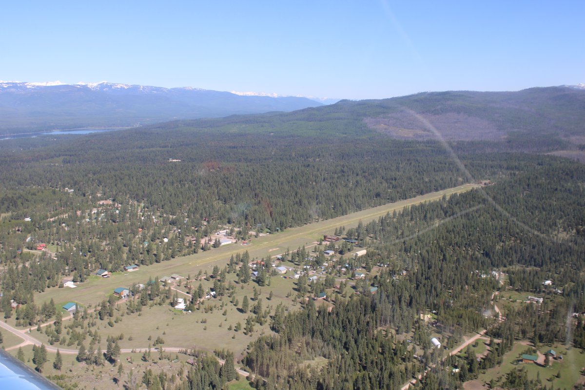
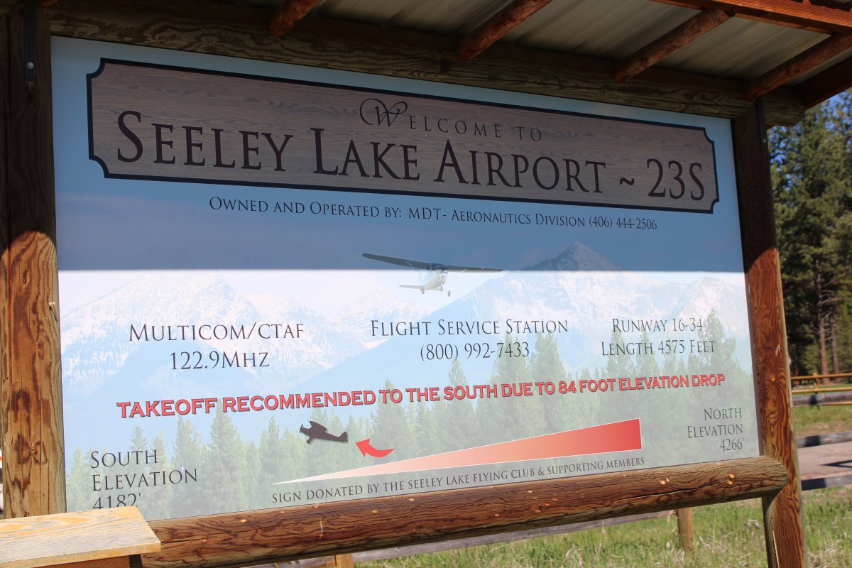
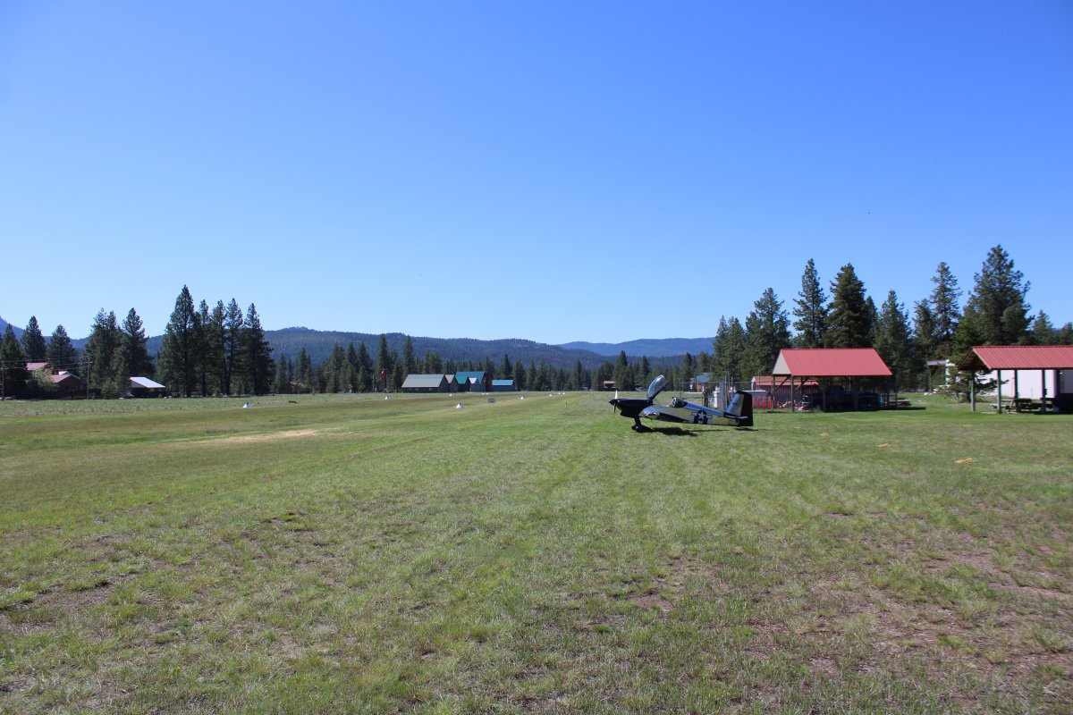
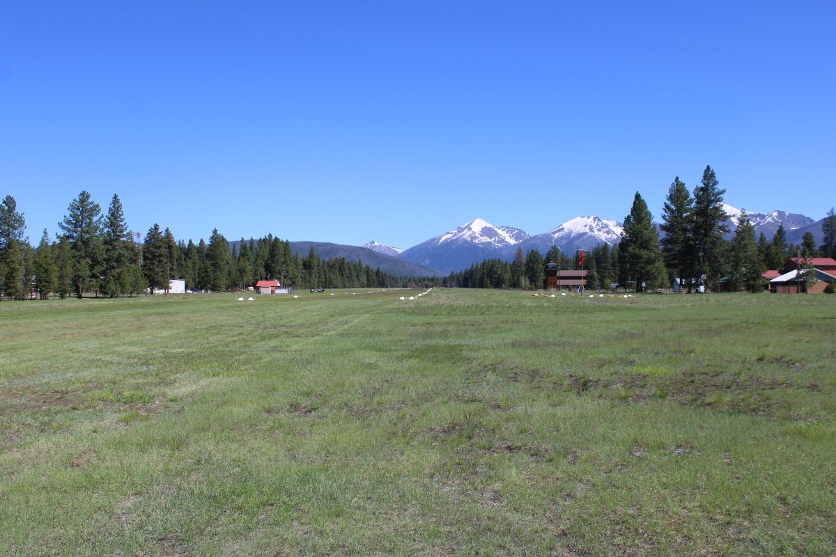
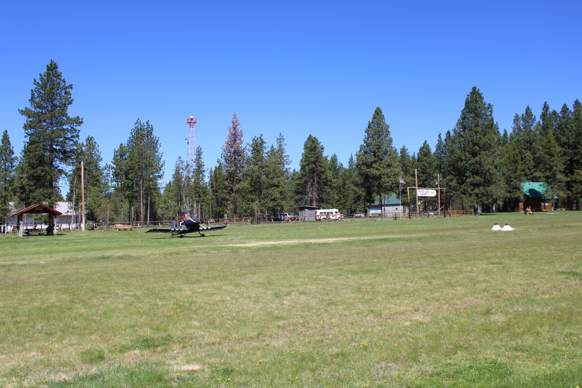
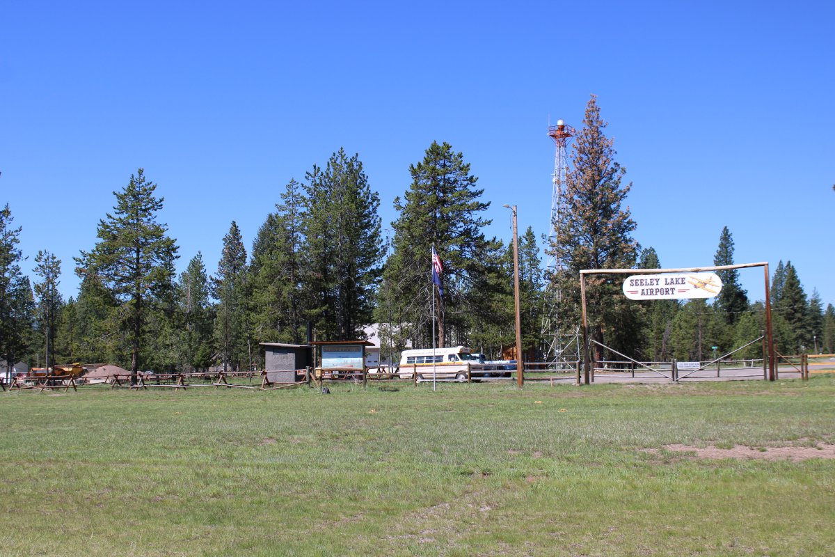
| Entering a left downwind for runway 16 at Seeley Lake Airport. That's an unusually long runway for grass: 4,575 feet. |
| |
 |
|
| Turning final for 16. |
| |
 |
|
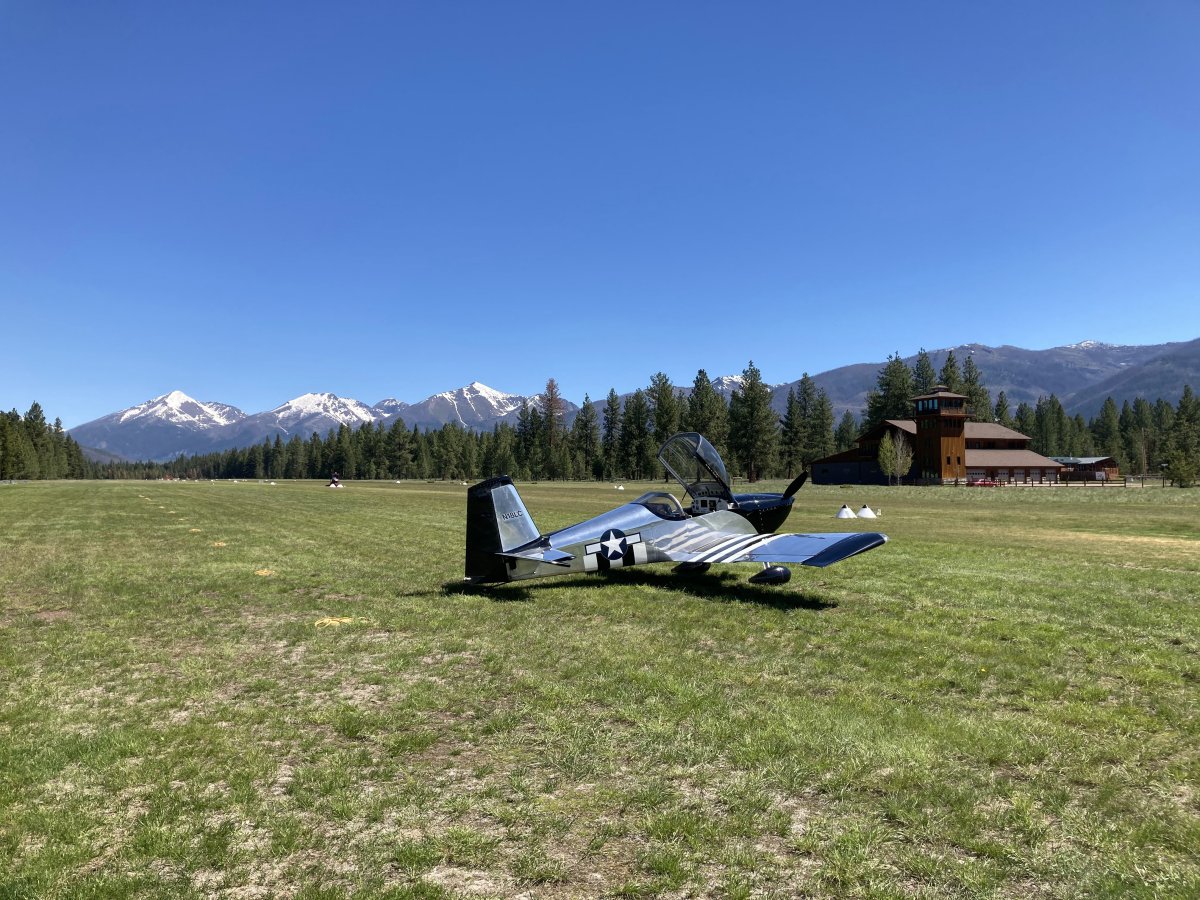
| Parked on the ramp at Seeley Lake. More beautiful country. |
| |
 |
|
|
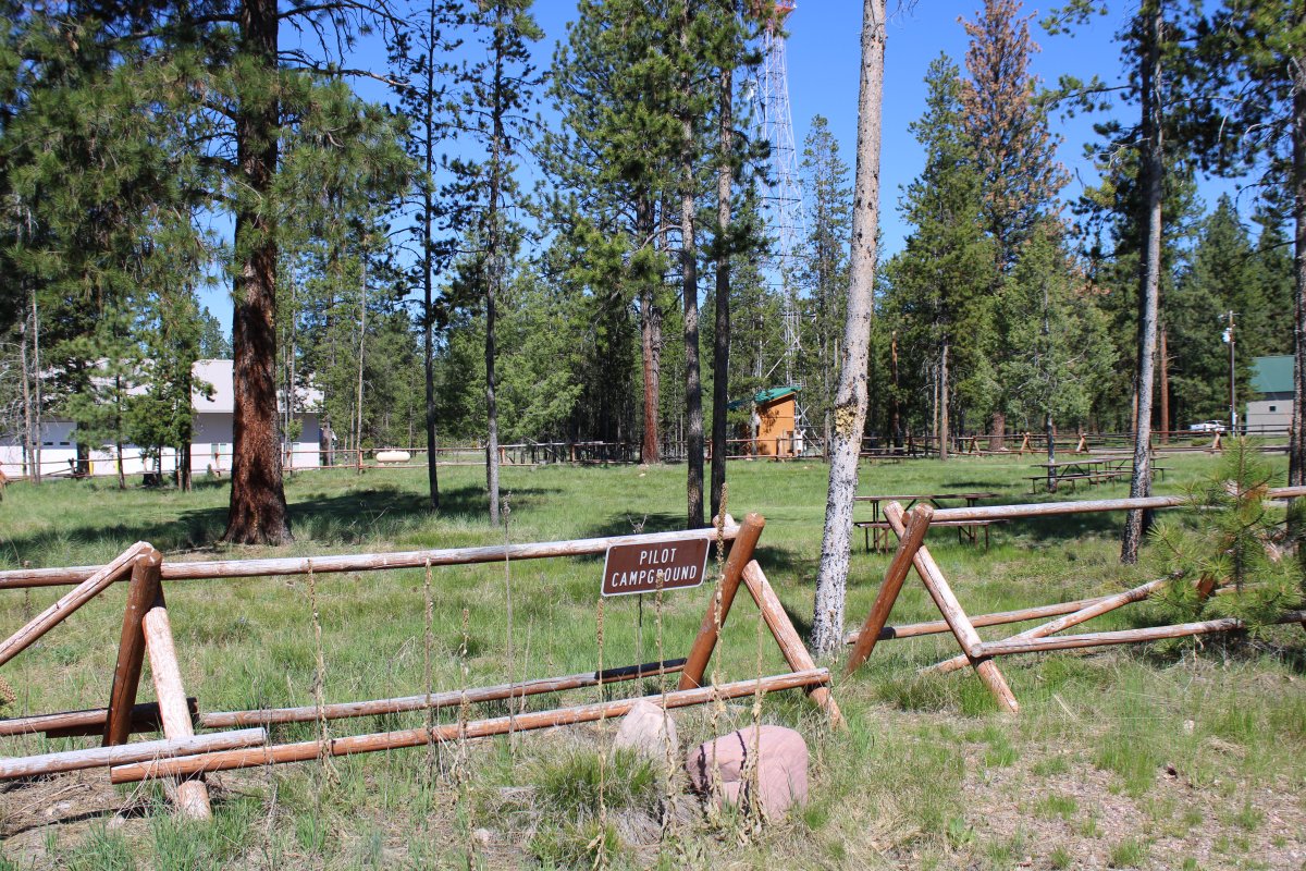
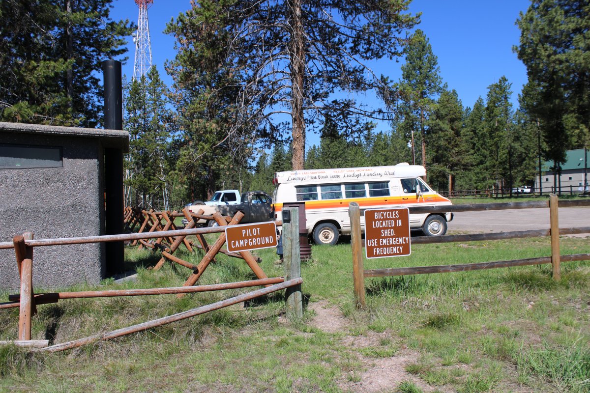
Yet another nice campground area for transient pilots.
|
| |
 |
|
| Bikes were available; even a courtesy car! |
| |
 |
|
|
The gouge.
|
| |
 |
|
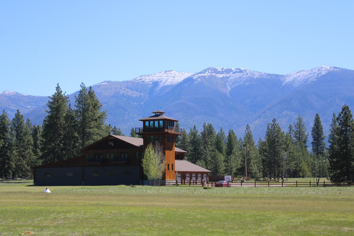
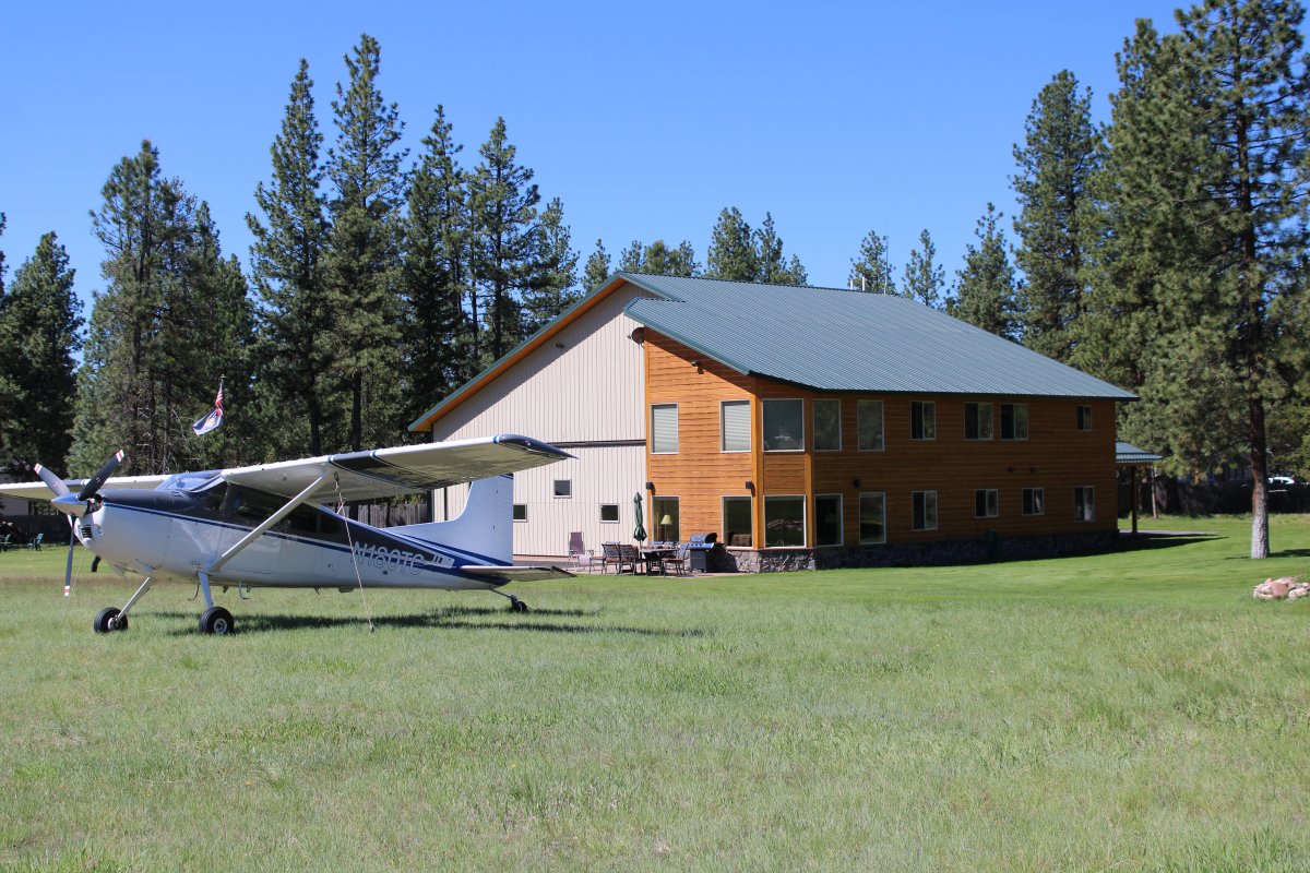
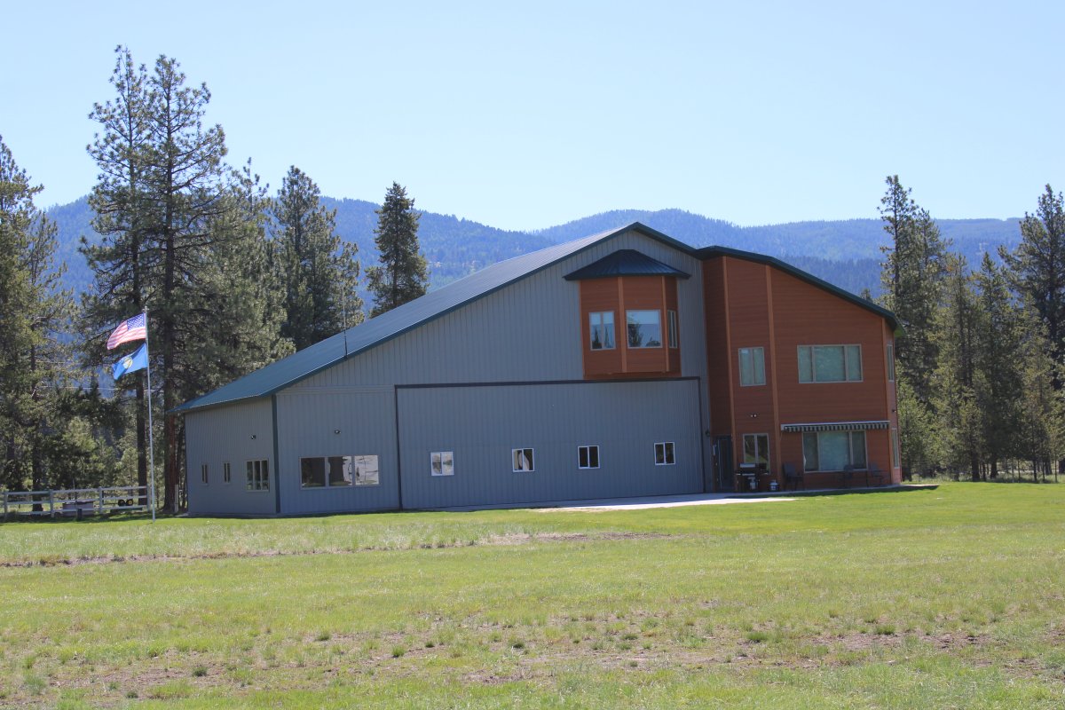
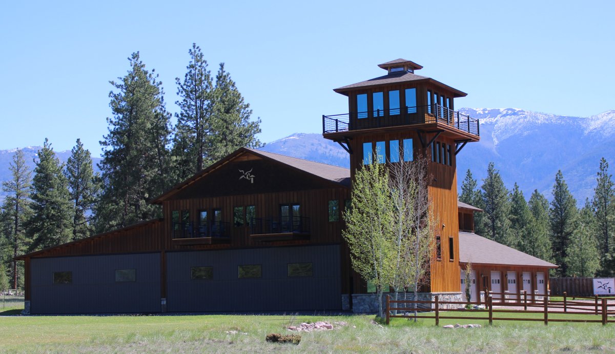
| If you don't want to camp, you can stay at the Eagle Port Lodge -- an upscale lodge located right on the runway. You can even park your plane in the ground floor hangar! One of the rooms is in that tower. |
| |
 |
|
| Looking south. |
| |
 |
|
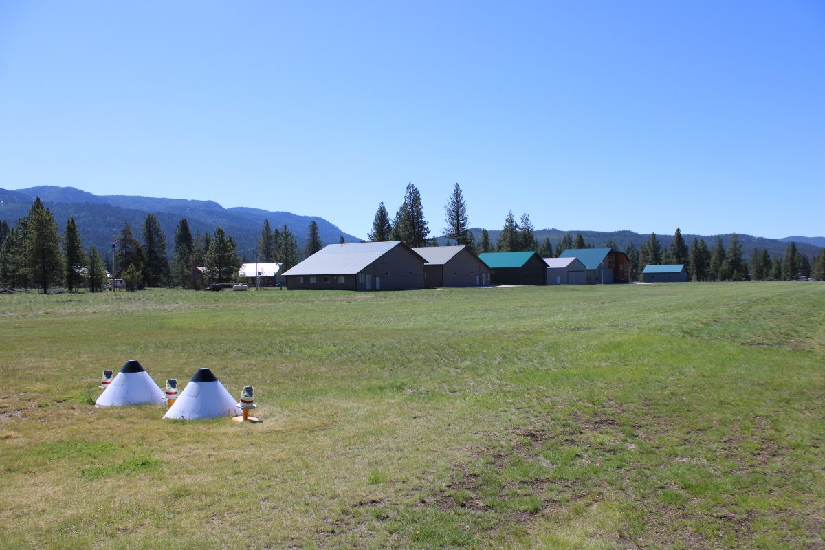
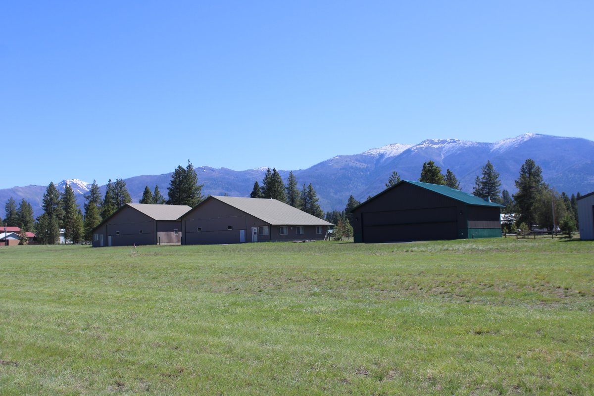
| I believe this airport is also an airport community. There are a bunch of hangar/homes on the field. |
| |
 |
|
| Nice. |
| |
 |
|
| |
| |
 |
|
| |
| |
 |
|
|
Looking north.
|
| |
 |
|
| The camping area. |
| |
 |
|
|
A close-up of the Eagle Port Lodge.
|
| |
 |
|
| |
| |
 |
|
| |
| |
 |
|
| Taxiing to the north end of the runway for takeoff. We came by this very spot on snow machines a year ago; that planted the seed to land here someday. |
| |
 |
|
| |
| |
|
|
|
|
|
|